Las Ramblas Ramblers gather together at the seaside to celebrate Gillian's Birthday with a saunter up Castle Hill and Douglas Park, King Creosote was delayed when a Seagull nicked his "99" but he still reminisces about days out in Largs.
Gillian, Marion, Neil, June,Dougie, Avril, Garry & Reuben set off from the seafront
Route
Largs is a town on
the Firth of Clyde in North Ayrshire, Scotland, about 33 miles from Glasgow.
The original name means "the slopes" (An Leargaidh) in Scottish
Gaelic.
A popular seaside
resort with a pier, the town markets itself on its historic links with the
Vikings and an annual festival is held each year in early September. In 1263 it
was the site of the Battle of Largs between the Norwegian and the Scottish
armies. Largs evolved from
the estates of North Cunninghame over which the Montgomeries of Skelmorlie
became temporal lords in the seventeenth century. Sir Robert Montgomerie built
Skelmorlie Aisle in the ancient kirk of Largs in 1636 as a family mausoleum.
Today the monument is all that remains of the old kirk. From its beginnings
as a small village around its kirk, Largs evolved into a busy and popular
seaside resort in the nineteenth century. Large hotels appeared and the pier
was constructed in 1834. It was not until 1895, however, that the railway made
the connection to Largs, sealing the town's popularity.
Gillian points out greenery as they head out of town
Now everyone can see it
Garry & Marion bring up the rear & the supplies
Heading to Champagne country
Las Ramblas partake of the latest energy drink
Gillian casts a disparaging look at Marion's footwear
Las Ramblas head North for a short walk in the Orkney's. Linda, Neil, Alfie, Marion, Bruce, Jill, Kay, Kevin & Alfie (The Dog). Unfortunately Tammy Wynette missed the tide and had to wait by the Ice Cream Van on the Mainland.
Route
The Brough of Birsay is an uninhabited tidal island off the north-west coast of The Mainland of Orkney, Scotland, in the parish of Birsay. It is located around 13 miles north of Stromness and features the remains of Pictish and Norse settlements as well as a modern light house.
Bruce takes an early morning stroll along the River Ness, Die Roten Rosen failed to appear they may have still been stuck in an Inverness Bar.
The River Ness is a river about 12 miles or 20 km long, which flows from the northern end of Loch Ness in, through Loch Dochfour, north-east to Inverness, with a total fall in height of about 16 metres before discharging into the Beauly Firth. The river is the origin of the name of Inverness which is from the Scottish Gaelic: Inbhir Nis, meaning "Mouth of the Ness".
Las Ramblas return to the world of walking with a short saunter along the Canal at Auchinstarry Marina and back over Croy Hill passing part of the Antonine wall on the way. We had hoped John Lee Hooker would join us but he got lost on Canal Street. Gillian, Avril, Marion, Bruce & Reuben head off without him.
At Auchinstarry marina, on the Forth and Clyde Canal.,there are many moorings next to a hostelry that claims to be the first eco-hotel, restaurant and pub in Scotland. It is a lot more modern than its 18th-century origins, but the presence of horses in neighbouring fields harks back to the days when the animals were stabled nearby to be used as a passenger service along the canal.Nowadays, the canal is a great leisure resource, with walking a popular attraction. On the waterside, you can look out for a variety of bird life, including herons, swans, little grebes and tufted ducks. Just away from the canal, in hedgerows and woodlands, smaller birds fill the air with song, making for a perfect walk.
Starting Point
Marion & Avril head off
Reuben Suggests a different Route
Taking in the View
Lunch
Looking back over the Campsie's
Antonine Wall
The Antonine Wall, known to the Romans as Vallum Antonini, was a turf fortification on stone foundations, built by the Romans across what is now the Central Belt of Scotland, between the Firth of Forth and the Firth of Clyde
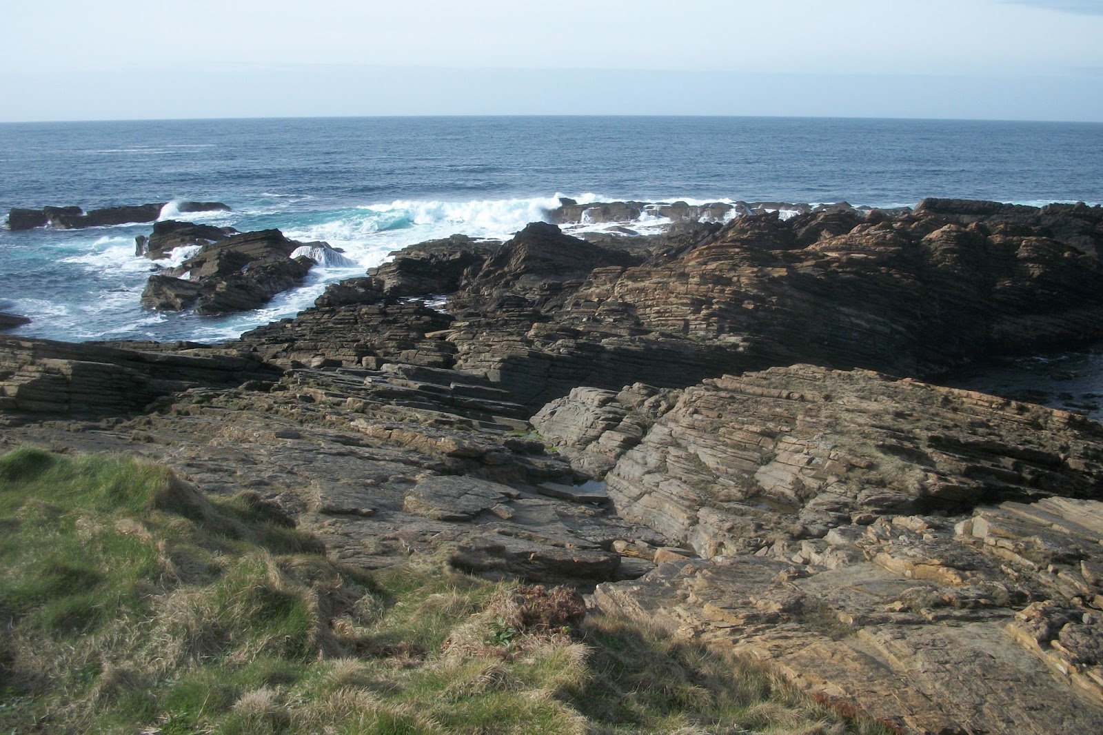
Bruce takes an early morning Coastal walk between Portrush and Portstewart. Hugh Cornwell couldn't make it to Northern Ireland as the ferry from Cairnryan was stuck in the harbour due to it being a bit windy.