Las Ramblas Ramblers keep in constant touch with the jive Aces in case any help is required of a meteorological nature and as the clouds looked rather heavy a quick call was made
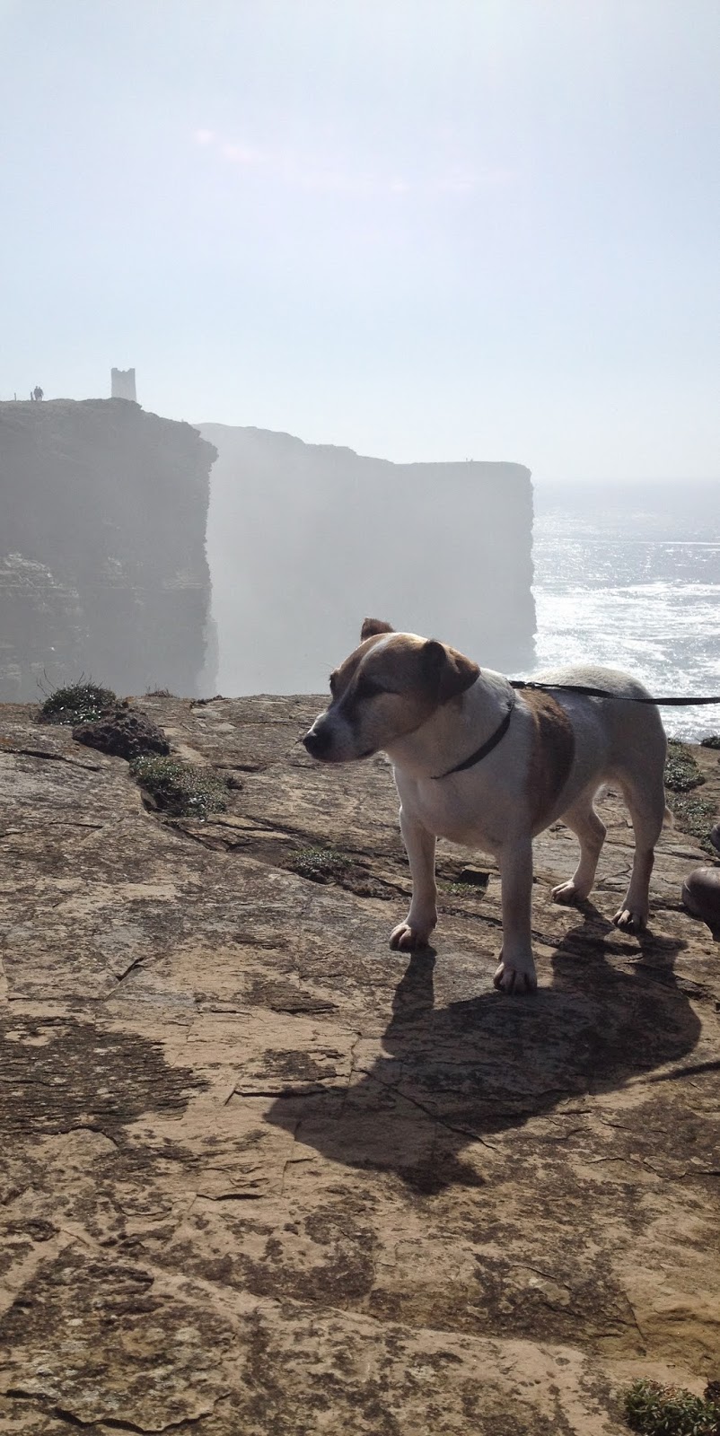
Gillian. Alison, Marion, Bruce, Linda, Neil, Avril, Gary, June, Dougie, Sam, Alfie & Layla have a stroll round the Forest at Srtathyre.
Strathyre is a district and settlement
in the Stirling local government district of Scotland. It forms the
south-eastern part of the parish of Balquhidder It is within the bounds of the
Loch Lomond and the Trossachs National Park.
The district of Strathyre extends from
east of Balquhidder, following the River Balvaig which flows out of Loch Voil,
almost due south to Loch Lubnaig. The River Balvaig is 8 kilometres in length,
almost all of which lies in Strathyre. It falls by around 5 metres between Loch
Voil and Loch Lubnaig. The A84 road and the route of the former Callander and
Oban Railway run through the strath, as does the old 18th century military
road.
The Strathyre Forest, which extends
well beyond the limits of Strathyre proper, is managed by the Forestry
Commission, forming the easternmost part of the Queen Elizabeth Forest Park. At
the heart of wild and rugged Strathyre Forest is a sheltered 'S' shaped glen,
which was chiselled out of the land by the brute force of a glacier during the
Ice Age.
Strathyre's name comes from the Gaelic
Strath Cor, interpreted as 'broad winding valley', which describes the
surrounding landscape perfectly. Start exploring this quiet wooded glen from
the car park and picnic site in the village or head for the southern end of
tranquil Loch Lubnaig to find trails at Ben Ledi and the Strathyre Cabins.
This area is steeped in Scottish
history and many stories abound, especially of Rob Roy MacGregor, notorious
18th century outlaw and local legend. His grave is in the peaceful kirkyard at
Balquhidder.
The village of Strathyre is largely a
Victorian creation, having grown up with the arrival of the railway in the
1870s and the establishment of Strathyre railway station.
Route
Gary, Avril, Sam & Alfie set off
Heavy looking Clouds maybe time to call the Jive Aces
Gillian leading her troops
A light shower just as we lose the Tree cover
Brighter Skies
Rain heading north
Tackling a route chosen by Alfie
Almost time for a beer
June, layla, Alison & Marion have a post walk refreshment at the Inn
Andy's Chum Lord Kitchener had arranged to meet up with Las Ramblas Ramblers in Birsay but was distracted by a Woman's Institute Bake sale in Dounby. He did perform a specially Composed Calypso for the fair Sexed Ramblers
The clifftops of the western coast of
Orkney are home to many sea birds and Marwick Head is one of the three RSPB
nature reserves on the Orkney islands. Exposed to the Atlantic Ocean, the
clifftops are home to the largest cliff nesting seabird colony on the Orkney
mainland. Some of the species you are
likely to encounter in this seabird city include; Fulmars, Razorbills,
Kittiwakes and Guillemots and Puffins. You may also see Hen harriers, Artic
skuas and Red-throated divers.In a good
season, over 25,ooo nesting birds use the sandstone cliff ledges of Mariwck
Head The beach of Marwick Bay attracts a
wide range of wading birds and ducks, the reserve also extends to some of the
wet meadows immediately behind the footpath where Short eared owls are often
seen sitting on fence posts in the afternoon sun. The Marwick Head circular walk along
the cliff path, will lead to the Kitchener Memorial and gives stunning views
over to the island of Hoy. The grand, square stone tower was
erected by the people of Orkney after the First World War, to commemorate Lord
Kitchener and the crew of HMS Hampshire, sunk on June 5th 1916, leaving only 12
survivors.It is thought that the armed
cruiser struck a mine laid by the German submarine U75, Kitchener, the then British Minister
of War was on his way to confer with the Czar’s government in Russia. The imposing stone memorial was
unveiled by General Lord Horne in June 1926 with a salute by HMS Royal
Sovereign. The inscription on the plaque reads; “This tower was raised by the people
of Orkney in memory of Field Marshall Earl Kitchener of Khartoum on that corner
of his country which he had served so faithfully nearest to the place where he
died on duty.He and his staff perished
along with the officers and nearly all the men of HMS Hampshire on 5th June
1916.”
Mary Hopkin decided she would rather spend her free time in the fictional area of Temma Harbour rather than join up with Bruce in the North of Scotland
Castletown is a
village on the north coast of the Highland council area of Scotland, situated
near Dunnet Bay. It is within the civil parish of Olrig, where it is the main
settlement, and within the historic county of Caithness
Much of the village is built on the old townland of
Stanergill. The Stanergill Burn was the eastern boundary of the townland. It
flows now through the eastern end of the village into Dunnet Bay and the
Atlantic Ocean.
The name Stanergill can be read as meaning Stone Valley and
much of Castletown was built during the 19th century boom years of Caithness as
a source of flagstone. Much of the stone was processed in the harbour area of
the village, known as Castlehill, and many of the streets of London, Sydney,
Edinburgh & the financial district of New York City are paved with it. The
harbour was built by James Bremner.
Bruce takes a pre Breakfast stroll around the Castletown Harbour area.
Route
Windmill used to power stone cutting saw
Looking over to Dunnet Head
Castetown Harbour
Orkney is only a short sail away shame the Valkyrie is out of the water
Oh well time for Breakfast and then Hi-Ho it's off to work I go
There are many Legends & Myths in Scotland (Brigadoon, The Loch Ness Monster, etc.)
Slim Whitman contacted us about Three Alfie Bay as he had been researching for years, It's a simple but fundamental mistake Slim you should be looking around Rosemarkie!
Linda, Neil, Sam. Alfie, Marion, Bruce, Andy, Jill, Kay, Kevin, Bob, Sally & Captain Haddock head North for a New Year Break & the Search for "Three Alfie Bay".
Rosemarkie from Scottish Gaelic: Ros Mhaircnidh meaning
"promontoryof the horse
stream" is a village on the south coast of the Black Isle peninsula in
Ross-shire ( Ross and Cromarty ), northern Scotland. Rosemarkie fronts on a wide, picturesque bay, with views of
Fort George and the Moray coastline across the Moray Firth. It has one
of the finest beaches on the Moray Firth Coast Line. At the southern end of the
beach is Chanonry Point, reputed to be the best location on the United Kingdom
mainland from which to see dolphins Rosemarkie has a collection of
finely carved Pictish stones, which is one of the largest in Scotland at a
single site. These 8th-9th century sculptures, found in and around the village
churchyard, are displayed in the Groam House Museum, a converted 18th-century
town-house on the High Street. These carved stones are evidence for a major
early monastery at Rosemarkie, founded by, or associated with, Saint Moluag (d.
592) and Boniface, otherwise known as Curetán (fl. early 8th century). The
sculptures include cross-slabs, shrine fragments and architectural pieces.
Rosemarkiewelcomes Las Ramblas & 2014
A row of Ramblers head out in search of Three Alfie Bay
Rosemarkie
Three Alfie Bay
Three Alfie Bay showing how it got it's name
unfortunately the Plough Inn was closed so it's time to head back to the ranch for a drink or two.